
Surf Spots
Banana Point
Banana Point near Tamraght: a sheltered right-hand point at the Aourir river mouth. Level, best swell, wind and tide, hazards and forecast.
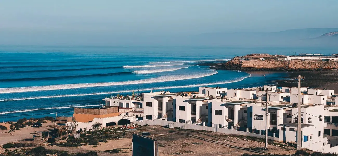
How it breaks
Banana Point is a right-hander that peels from the headland towards the mouth of the river at Aourir, just south of Tamraght. The river bed is dry most of the year. On a north-west swell the waves wrap around the point and give long rides, and the headland shelters the spot from northerly wind.
On small days the wave is slow and forgiving, which suits longboards and improvers who already ride green waves. As the swell grows it gets faster, the rips get stronger and the line-up fills up. The take-off is over rocks, so if you are still learning to stand up, start at Devil’s Rock or Crocro Beach and come back later.
When it works
Look for a north-west winter swell with light east to east-south-east wind. It works on all tides. Check the surf forecast and, if you are new to reading one, our guide on how to read a surf forecast.
Getting there
The point is about 1.5 km south of Tamraght, within walking distance, and 10–15 minutes by car from Taghazout.
Surf guiding
Surf it with a local guide
The Travel Surf Nature guides check the conditions every morning and take you where the waves suit your level: here, or wherever it's best that day.